Stats | Summary | Parking | Tips | Map | GPX & OS Maps

Stats
- Distance: 32.2km
- Time: 9-11 hours
- Elevation: 1,599m
- Summits: Skirrid/Ysgyryd Fawr (486m), Sugar Loaf/Mynydd Pen-y-fâl (596m), Blorenge/Blorens (561m)
Summary
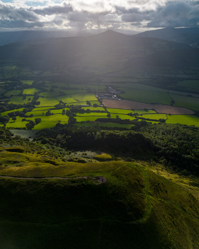
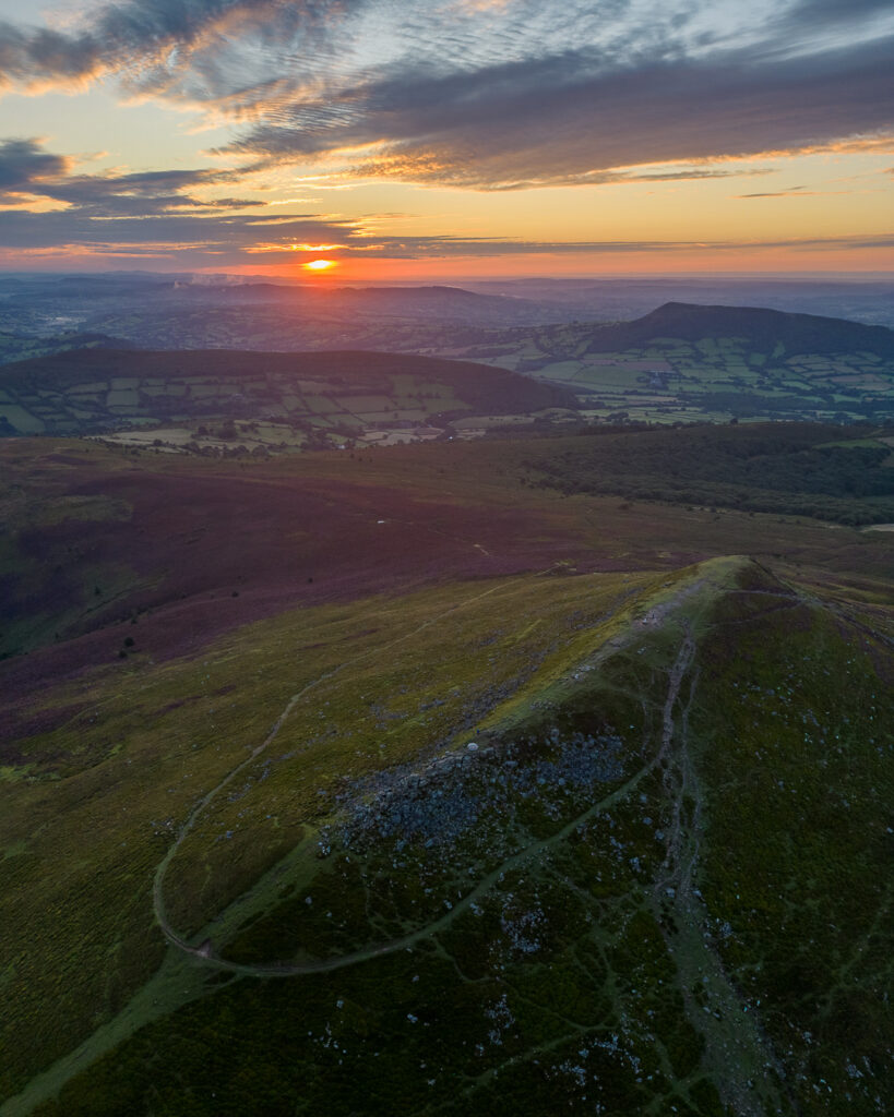
Starting in Abergavenny, this fantastic loop will first take you through woodland up to the summit of Skirrid which is also referred to as Holy Mountain/Sacred Hill due to legend claiming that a landslide occurred when Jesus was crucified. The distinctive conical peak of Sugar Loaf is next on your route and, once reached, your reward will be superb 360-degree panoramic views. Blorenge is your final peak and yields you further views of Corn Du and Pen y fan in the distance.
I really enjoyed this loop and decided to break it up with a wild camp on Sugar Loaf, mid-week. There are shorter route options for hiking 1 or 2 of these peaks together but, if the weather gods are on your side and you are up to it, taking on all 3 peaks is a superb way to see this part of the Brecon Beacons.
Parking
Park up at Fairfield car park in Abergavenny, postcode NP7 5TR. Charge is £5.60 for 24 hours. PayByPhone location code 806671.
Tips
Both Skirrid and Sugar Loaf are popular peaks, so aim to start early or, better still, hike this loop mid-week to beat the crowds.
Map

